


Why you can trust TechRadar We spend hours testing every product or service we review, so you can be sure you're buying the best. Find out more about how we test.
Sat nav
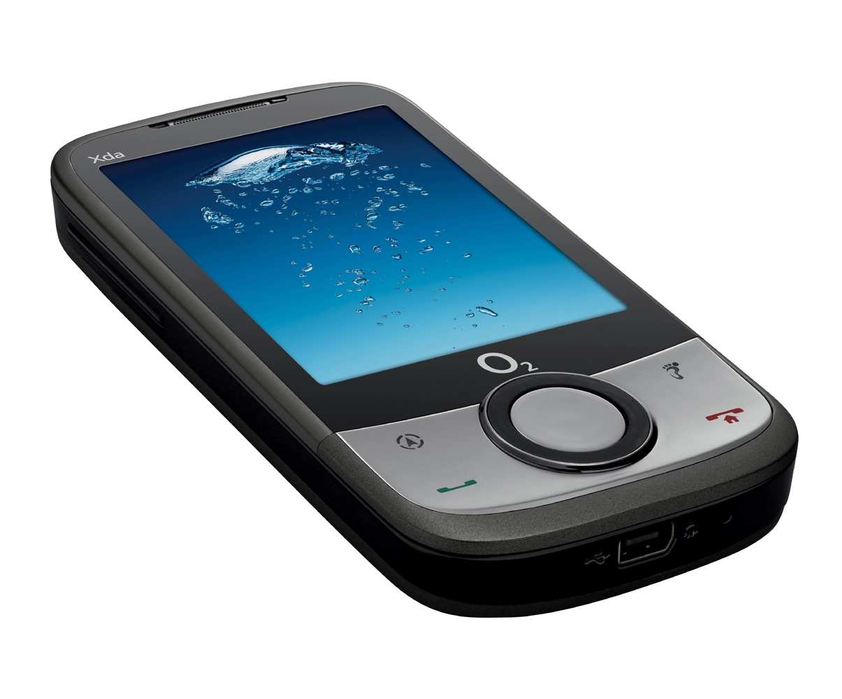
Sat nav is what the Xda Guide is all about. It comes with the latest version of CoPilot Live 7 with UK maps as standard on a supplied 1GB microSD card.
The sat nav software offers big-button, thumb-friendly menus and a choice of map views – you can toggle between 2D and 3D versions while you follow voice directions to your destination, and you can also search for points of interest and traffic updates. It indicates speed cameras too


It all works fine, as far as it goes, but we found ourselves a bit frustrated with the size of the screen, which is a bit cramped for easy reference while driving, and we'd have liked a bit more spoken information, such as the name of the street you're meant to turn into
Charger
The O2 Xda Guide also comes with a quick-fit cradle and charger for the car. The cradle sticks to your windscreen using a sucker, which has a little lever to suck out the air underneath and affix it to the glass.
The charger meanwhile plugs into your cigarette lighter, though we'd have liked the stretchy lead to have been a bit longer. It's not as elegant a solution as a professionally fitted sat nav, but it proved to be reasonably robust while we had it.
HTC Footprints is essentially a geotagging app which allows you to add more info to your snaps. Pressing the footprint logo on the front of the handset opens the camera, and it will automatically geotag any picture or video you take, identifying its exact location (if you're indoors, it can provide a less accurate location via cell ID). It also gives you options to add a written or voice note or a relevant phone number.