Geoscientists in Germany are using YouTube videos to study the water levels of a cave south-east of the Saudi Arabian capital city Riyadh.
The scorching deserts of the Middle East sit atop huge reservoirs of groundwater, which formed in prehistoric times and have long permitted people to survive in its inhospitable landscapes. Until the 1980s, the region even sported a few lakes and waterholes. But today they lie empty, as groundwater levels have dropped significantly since the population began widespread crop irrigation.
Article continues below"Since smartphones have become so popular and deliver quite good video quality - such data becomes useable. A few years ago, some people would have criticised it as 'grey data', and said 'you shouldn't use it'. But since there is no other data, you need to be creative," Michelsen told the BBC.
Early results
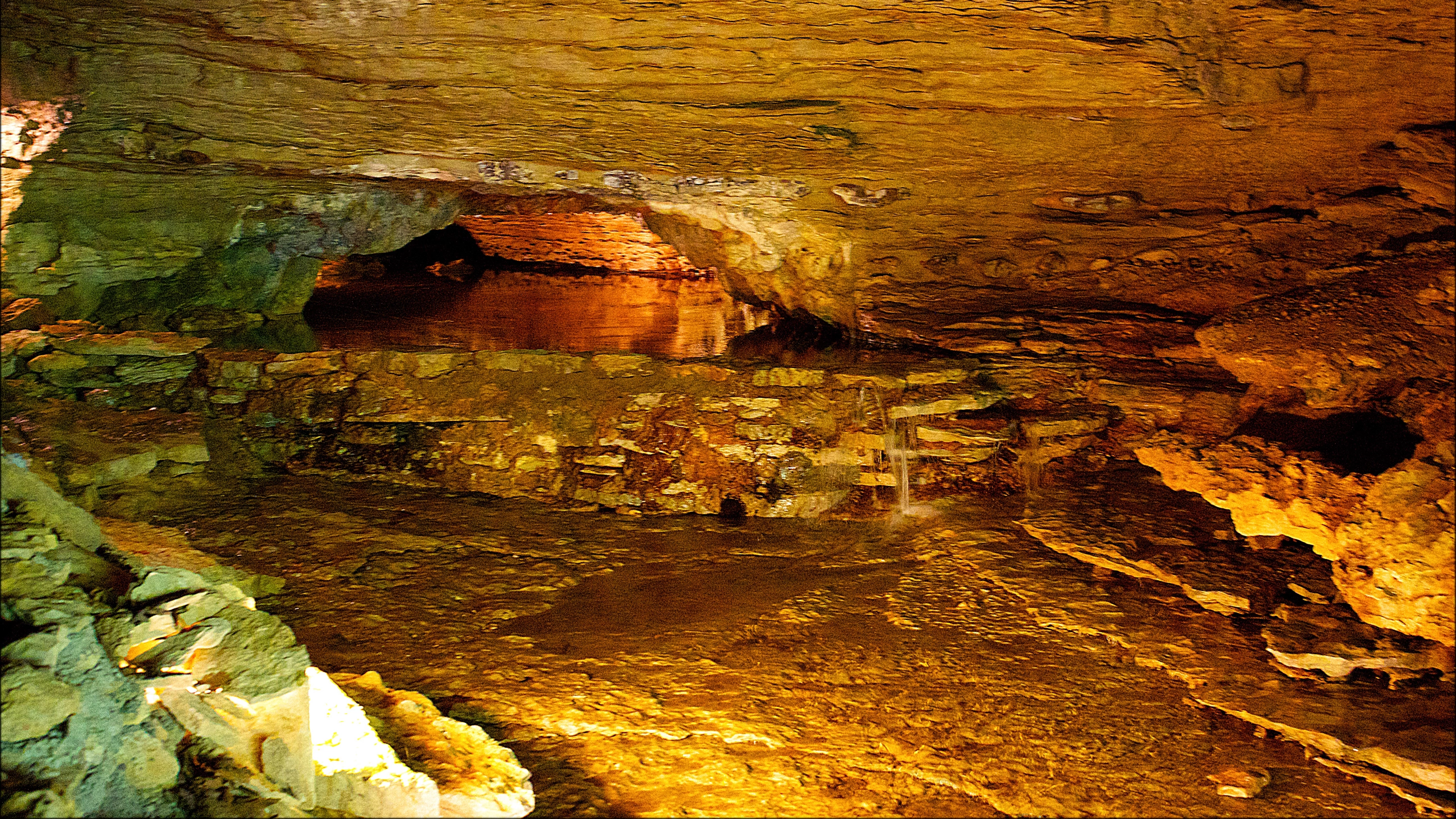
Analysis of almost 40 YouTube videos show that water levels in the cave have risen by about 40 centimetres a month over the past two years. The rate of water rise is so fast that some of the graffiti that the researchers have been using is now completely submerged.
It's unlikely that the water level rise is due to a topping-up of the subterranean aquifers, though - as irrigation has not stopped. Instead, it seems to be coming from lakes of treated wastewater about ten kilometres away, and chemical analysis of the water in the cave supports that theory.
The team's work joins other researchers trawling the web for scientific purposes. Other examples include modelling the spread of infectious diseases in World of Warcraft and tracking tweets of Indonesian citizens to monitor the extent of flooding.
(Image credit: Credit: CC BY 2.0 Doug Wertman)
