
 Become a TechRadar Insider


British researchers used mobile phone signals to track people and better coordinate the distribution of humanitarian aid following the 7.8 magnitude earthquake that hit Nepal on April 25th this year.
The IET reports that, coincidentally, a team from a company called Flowminder had been set up in Nepal since last December. The idea behind the company's technology is that it can track (anonymised) mobile phone users as their phones switch between masts, and that, taken in aggregate, conclusions can be drawn about the movement of people.
When the earthquake hit though, the team was able to help out in a "live" scenario, analysing data being returned from the different transmitters to paint a picture of where displaced people were moving, and where they were heading to following the quake. This meant that working with the UN, emergency aid could be directed to where it would be most effective.
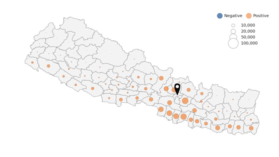
To get access to the data and to make assessments, the company worked with Nepal's largest phone network, Ncell, to track 12m mobile phones. After the quake hit, half a million people left Kathmandu Valley. Overall, it is estimated that 1.2m people were displaced from their home district.
The project appears to be a good example of how big data can change the world - with better targeted aid, more people can be helped in the critical hours and days after a disaster, and they can be helped more efficiently too, with less going to waste. It'll be interesting to see if the technology is deployed more widely.