
 Become a TechRadar Insider


Dive into Google Earth 5.0
New features include ocean layers, historical views and touring
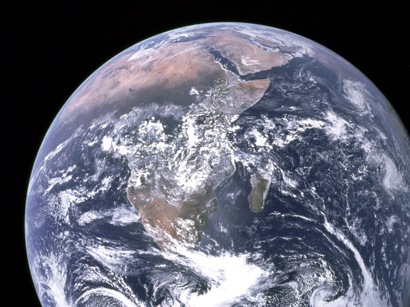
Google Earth 5.0, which launched today, expands Google's reach beneath the waves, allows free GPS uploads and even heads across the empty reaches of space to Mars.
Watery wonders
The biggest addition to the geological software package are 20 3D ocean layers, combining sea floor terrain and expert content (such as National Geographic articles and Jacques Cousteau videos) to let you explore some of the most difficult-to-reach parts of the world.
Virtual travelers to Hawaii, for example, can examine underwater volcanoes, see videos about the exotic marine life of the region, read about nearby shipwrecks and contribute photos and videos of favorite surf spots.
"It was a serious omission on our part not to include a better treatment of the oceans when we launched Google Earth," said John Hanke, Director of Google Earth and Maps. "I'm very happy that we've been able to address that."
Time travel
The other big feature launched today is Historical Imagery, a feature that enables users to virtually travel back in time through archival satellite and aerial imagery.
Sign up for breaking news, reviews, opinion, top tech deals, and more.
In previous versions of Google Earth, users could only view only one set of imagery for a given location. Now users can activate a time slider to see both newer and older satellite imagery from around the globe, enabling them to observe a single location's development over time.
Al Gore was on hand at the launch to note, "Now you can look back in time and see for yourself the unprecedented pace of change taking place on the Earth — largely because of human influences. For example, you can watch the melting of the largest glacier in Glacier National Park—the Grinnell Glacier—image by image, for the last decade."
Touring to Mars
Google Earth 5.0 sees three other major upgrades. A new Touring feature lets you create narrated tours of imagery and content in Google Earth by simply pressing a 'record' button, and which you can then share online.
Google Mars 3D includes high resolution imagery from the Red Planet, including fly-throughs to Olympus Mons, geo-located excerpts from A Traveller's Guide to Mars, and the points where various Mars Rovers and Landers have touched down.
Finally, GPS Tracking is now open to all users, letting you upload routes from many GPS units (including Garmin and Magellan units) to Googe Earth without having to pay for the Plus or Pro version.
You can download the new Google Earth 5.0 beta software now for free at http://earth.google.com/.
Mark Harris is Senior Research Director at Gartner.