
 Become a TechRadar Insider


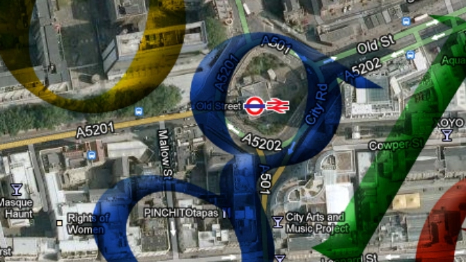
Google rolled out an initiative to fill in the blanks on its Maps app, one that should help even the most directionally challenged navigate where they need to go.
The move will see 25 million new building footprints join the service on both desktop and mobile for major metropolitan areas across the U.S.
Those regions include Houston, Los Angeles, Chicago, Miami and the San Francisco Bay Area.
"This expansion is part of our ongoing effort to provide you with maps that are as comprehensive as possible," the announcement on the Google Lat Long blog said.
Fill 'em in
Buildings, the blog said, provide helpful orientation as local landmarks, and Google's even included height detail in the structure outlines.
The new footprints are "algorithmically created by taking aerial imagery and using computer vision techniques to render building shapes."

Users can contribute to areas they are familiar with through the Google Map Maker, insuring building footprints are accurate and up-to-date, the post said.
Google has also offered the option of assigning "your favorite local business to an existing building" or by drawing the footprint for that business via the Map Maker.
Even if the change seems relatively minor, it still puts Google's maps service leagues above Apple's dismal, though improving, native maps outing.
Via Google Lat Long
